

Tap Tap to Zoom
Product Discontinued by Manufacturer
Media Allagash Wilderness Waterway North Trail Map has been discontinued by Media and is no longer available. Our product experts have helped us select these available replacements below.You can also explore other items in the Outdoor Gear yourself to try and find the perfect replacement for you!
Product Info for Media Allagash Wilderness Waterway North Trail Map
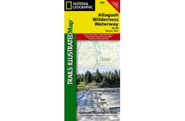
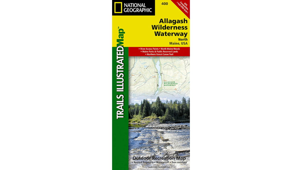
National Geographic's recreational maps of the Allagash Wilderness Waterway (TI 400 and 401) are two-sided, waterproof maps designed to meet the needs of outdoor enthusiasts and tourists alike. Divided into two separate maps for exceptional detail, each is loaded with valuable information such as watercraft regulations, rules for recreational use and access, river difficulty scale, checkpoints, visitor and ranger station locations, and more. A UTM and latitude/longitude grid, as well as compass rose and scale bar will keep you pointed in the right direction. Year-round activities abound in the region and the location of scenic viewpoints, wildlife viewing, boat launches and canoe carry downs, lookout towers, amphitheaters, ATV trails, and other points of interest are clearly marked as are park and forest boundaries and access points. Campers will appreciate the attention paid to noting the variety of camping facilities available including primitive campsites, group campsites, rental cabins, RV camping, picnic shelters, restrooms, parking, and trailheads. Whether paddling the Northern Forest Canoe Trail, camping in the North Maine Woods, or driving the Maine Scenic Byway, these maps perform as highly functional travel tools that are as useful as they are remarkably crafted. The Allagash Wilderness Waterway North map details the far northern reaches of the waterway on the Canadian border south to Churchill Lake. The front or north side of the map includes the area stretching from the Fort Kent State historic site on the Saint John River south to Saint Froid Lake. It also includes the Saint Francis, Fish, and Allagash Rivers, and the northern portion of Eagle Lake. The south side of the map shows Long Lake, Umsaskis Lake, the five Musquacook lakes, Spider Lake, and Pleasant Lake.![]()
Features of Media Allagash Wilderness Waterway North Trail Map:
- Waterproof and tear-resistant
- Clearly marked trails for hiking, biking, horseback riding, ATV, and more
- Detailed topography and clearly defined, color-coded boundaries of state parks, national recreation areas, wilderness areas, marine sanctuaries, and wildlife refuges
- Hundreds of points of interest, including scenic viewpoints, campgrounds, boat launches, swimming areas, fishing access points, and more
- UTM and latitude/longitude grid, as well as selected waypoints and a scale bar for easy and accurate navigation
- Detailed road network
- Important safety information and travel tips
Media Allagash Wilderness Waterway North Trail Map


Media Allagash Wilderness Waterway North Trail Map Unavailable & Discontinued Models
List of Unorderable Models
- Allagash Wilderness Waterway North Trail Map , MPN: TI00000400 , UPC: 749717004009 , Code: 2RQ-MAP-NAG0240-147630