

Tap Tap to Zoom
Product Discontinued by Manufacturer
Media Los Padres National Forest East has been discontinued by Media and is no longer available. Our product experts have helped us select these available replacements below.You can also explore other items in the Outdoor Gear yourself to try and find the perfect replacement for you!
Product Info for Media Los Padres National Forest East
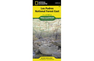
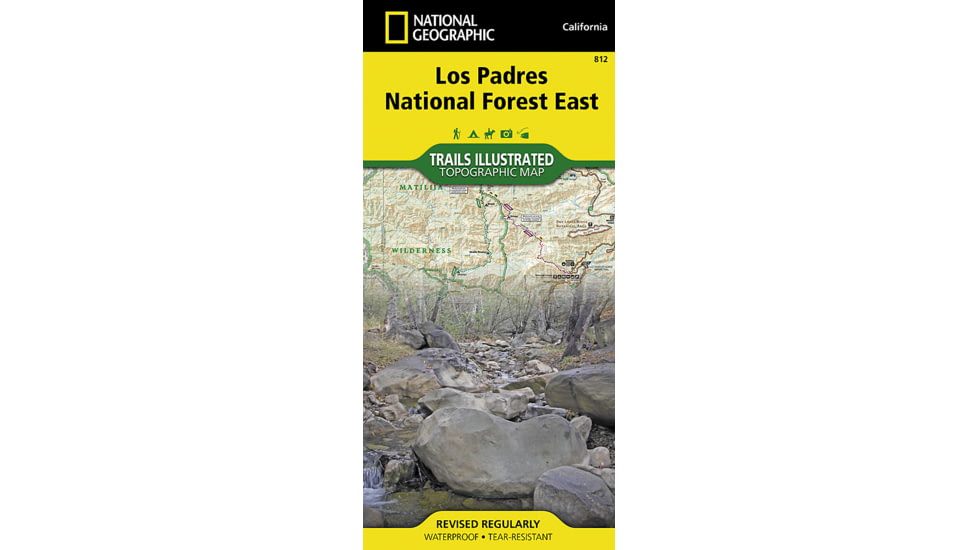
One of the most diverse National Forests in the United States, Los Padres National Forest provides recreation opportunities for a enormous population base in central and southern California. National Geographic's Trails Illustrated map of Los Padres National Forest East will serve outdoor enthusiasts looking to enjoy the wide range of activities that the National Forest has to offer. Expertly researched and created in partnership with the U.S. Forest Service, California State Parks and others, the maps covers with unparalleled detail the area from Santa Barbara in the west to the National Forest's eastern boundary with Angeles National Forest. Coverage includes many popular points of interest, including Chumash, Dick Smith, Matilija and Sespe Wilderness Area; Sisquoc, Sespe Creek and Piru Creek Scenic Rivers; Fort Tejon and El Presidio de Santa Barbara State Historic Parks; Hungry Valley Recreation Area; and Carpinteria State Beach.![]()
Navigate the area by following mapped trails, including many National Recreation Trails, shown with mileage markers and labeled according to designated usage, whether exploring on foot, horseback, mountain bike, motorcycle or ATV. To aid in your navigation, the map displays contour lines, elevations, labeled peaks and summits, water features, numbered Forest Service roads and OHV routes, and color-coded boundaries between different land management agencies. Among the many recreation spots pinpointed include areas for camping, picnics, boat launching, fishing, swimming, surfing, widlife viewing and winter recreation. The Jacinto Reyes and San Marcos Pass Road Scenic Byways are marked for those wishing to explore the by car.
Media Los Padres National Forest East


Media Los Padres National Forest East Unavailable & Discontinued Models
List of Unorderable Models
- Los Padres National Forest East , MPN: TI00000812 , UPC: 749717008120 , Code: 2RQ-MAP-NAG0466-329466