

Tap Tap to Zoom
Product Discontinued by Manufacturer
National Geographic Weminuche Wilderness Trail Map has been discontinued by National Geographic and is no longer available. Our product experts have helped us select these available replacements below.You can also explore other items in the Outdoor Gear yourself to try and find the perfect replacement for you!
Product Info for National Geographic Weminuche Wilderness Trail Map
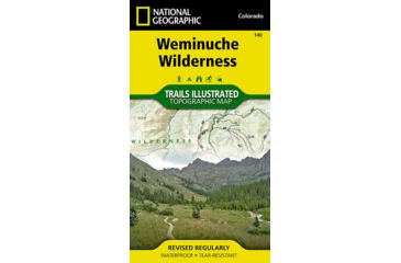
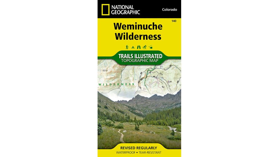
The Weminuche Wilderness National Geographic Trails Illustrated map is the most comprehensive and complete recreation map for Colorado's largest wilderness area. Coverage includes: San Juan and Rio Grande national forests; Weminuche Wilderness; Williams Creek; Big Meadows and Rio Grand reservoirs; Chicago Basin, Emerald, and Electra lakes; Wagon Wheel Gap, Wolf Creek, and Rockwood. 14ers: Sunlight Peak, Windom Peak, Mt Eolus; Piedra, Squaw and Molas passes; San Juan Mountains; San Juan, Rio Grande and Los Pinos rivers; Wolf Creek ski area; Portions of the Continental Divide Trail and the Colorado Trail.![]()
Features of National Geographic Weminuche Wilderness Trail Map:
- Waterproof and tear-resistant
- Clearly marked trails for hiking, biking, horseback riding, ATV, and more
- Detailed topography and clearly defined, color-coded boundaries of state parks, national recreation areas, wilderness areas, marine sanctuaries, and wildlife refuges
- Hundreds of points of interest, including scenic viewpoints, campgrounds, boat launches, swimming areas, fishing access points, and more
- UTM and latitude/longitude grid, as well as selected waypoints and a scale bar for easy and accurate navigation
- Detailed road network
- Important safety information and travel tips
Package Contents:
- National Geographic Weminuche Wilderness Trail Map
National Geographic Weminuche Wilderness Trail Map


National Geographic Weminuche Wilderness Trail Map Unavailable & Discontinued Models
List of Unorderable Models
- Weminuche Wilderness Trail Map , MPN: TI00000140 , UPC: 749717011403 , Code: 44-MAP-NAG0064